RK-BAY16 Oberbayerisches Alpenvorland 1:75t cyklomapa Esterbauer (Pfaffenwinkel, Isarwinkel, Funf-Seen-Land, Werdenfelser Land)

RK-BAY16 Oberbayerisches Alpenvorland 1:75t cyklomapa Esterbauer (Pfaffenwinkel, Isarwinkel, Funf-Seen-Land, Werdenfelser Land)

Cykloturistická mapa Oberbayerisches Alpenvorland v mierke 1:100tis - Esterbauer  
Skladaná cyklistická mapa južného Bavorska.
Kód mapy: RK-BAY16
Oblasť:  časť Bavorska medzi riekami Lechh a Inn od západu smerom na východ a od mesta Mníchov po rakúske hranice od severu po juh.
Ohraničenie:
Sever - Mníchov
Juh - hranica Rakúska /Garmisch-Partenkichen, Kufstein/
Východ - Kufstein, Rosenheim
Západ - Fussen

kúpiť
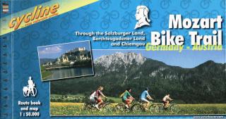
Mozart Bike Trail cyklosprievodca Esterbauer / 2005

Mozart Bike Trail cyklosprievodca Esterbauer / 2005

Bikeline cykloturistický sprievodca MOZART BIKE TRAIL - Esterbauer Through the Salzburger Land, Berchtesgadener Land and Chiemgau Stadtpläne Übernachtungsverzeichnis Höhenprofil Spiralbindung 120 Seiten Länge: 430km Charakteristika cyklosprievodcu vydavateľom: Salzkammergut, Chiemgau and Tyrol. These three regions along the Austrian-German border dazzle with stunning landscapes, verdant Alpine pastures, meadows filled with wildflowers, crisp clean air and refreshing lakes. The lively city of Salzburg, h

kúpiť
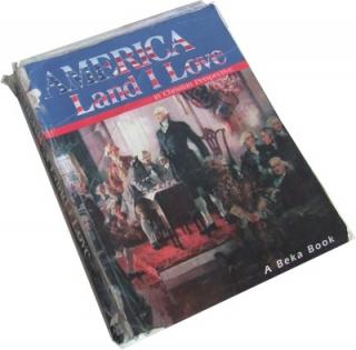
America Land I love

America Land I love

Columbus conviced Ferdinand and Isabellla to finance three more voyages, in which he explored several islands and parts of the coastlines of Central and South America. He finally accepted the fact that he had discovecerd a new land mass, but he still believed that his new -found land lay just off the southeast coast China.

kúpiť
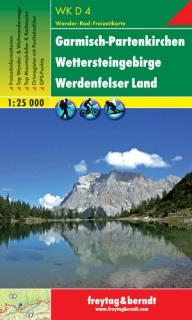
WKD4 Garmisch-Partenkirchen, Wettersteingebirge 1:25t turistická mapa FB (Garmisch-Partenkirchen – Wettersteingebirge – Werdenfelser Land)

WKD4 Garmisch-Partenkirchen, Wettersteingebirge 1:25t turistická mapa FB (Garmisch-Partenkirchen – Wettersteingebirge – Werdenfelser Land)

Turistická mapa v mierke 1:25tis, vydavateľa Freytag & Berndt  Najpodrobnejšia turistická mapa v mierke 1:25.000 (1cm = 250metrov) kompletná sieť turistických značených ciest základný obsah mapy: všetky sídla a ich časti, železnice, cesty, hlavné cesty, vrstevnice, výškové kóty atd. podrobný turistický obsah: hrady, zámky, zrúcaniny, rozhľadne, lanovky, apod. samostatná brožúra s popisom zaujímavých miest, návrhy na najzaujímavejšie túry mapa + brožúra vložené do praktického plastového puzdra GPS

kúpiť
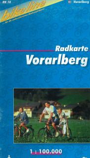
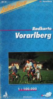
RK-A10 Vorarlberg 1:100t cyklomapa Esterbauer

RK-A10 Vorarlberg 1:100t cyklomapa Esterbauer

Cykloturistická mapa VORARLBERG v mierke 1:100tis - Esterbauer   Skladaná cyklistická mapa západného Rakúska - oblasť Vorarlberg. Kód mapy: RK-A10 Oblasť:  Rakúsko - južná časť Bodensee, okolie Bregenz, Dornbirn, Hohenems, Feldkirch, Bludenz, oblasť Klostertal, Gr. Walsertal, Kl.Walsertal, Montafon, Bregenzer Wald Nemecko - hraničná oblasť s Rakúskom, okolie Oberstaufen Švajčiarsko - hraničná oblasť s Rakúskom, okolie Rorschach, Appenzell, oblasť Rätikon až po mesto Chur a sevetnú časť Silvretta.

kúpiť
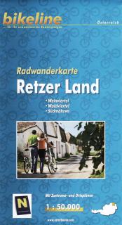
RWK-RETZ Retzer Land 1:50t cyklomapa Esterbauer (Weinviertel - Waldviertel - Južná Morava)

RWK-RETZ Retzer Land 1:50t cyklomapa Esterbauer (Weinviertel - Waldviertel - Južná Morava)

Bikeline cykloturistická mapa Retzer Land v mierke 1:50tis - Esterbauer Skladaná cykloturistická mapa časti Weinviertel - Waldviertel - Südmähren. Kód mapy: RWK-RETZ Oblasť:  Weinviertel - Waldviertel - Južná Morava sever / Česká republika po vodnú nádrž Vranov, Národný park Podyjí východ / Česká republika Znojmo, Rakúsko Haugsdorf, Guntersdorf juh / Rakúsko, Eggenburg západ / Rakúsko, Langau Charakteristika mapy vydavateľom: Wir haben für Sie ein dichtes Netz an Radrouten und Radwegen recherchiert, das e

kúpiť
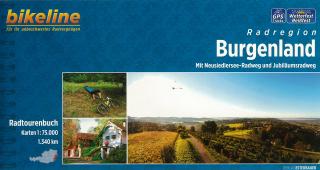
Radregion Burgenland cyklosprievodca Esterbauer / 2014 (Mit Neusiedlersee, Radweg und Jubiläumsradweg)

Radregion Burgenland cyklosprievodca Esterbauer / 2014 (Mit Neusiedlersee, Radweg und Jubiläumsradweg)

Bikeline Cycling Guide cykloturistický sprievodca BURGENLAND - Esterbauer Mit Neusiedlersee-Radweg und Jubiläumsradweg Stadtpläne Übernachtungsverzeichnis Höhenprofil Spiralbindung 160 Seiten Länge: 1340km Charakteristika cyklosprievodcu vydavateľom: Das östlichste und einwohnermäßig kleinste Bundesland Österreichs grenzt im Norden an das Pressburger Land, im Osten an Ungarn, im Süden an Slowenien und im Westen an die Steiermark und Niederösterreich. Das Burgenland eignet sich bestens als Radlerland. In

kúpiť
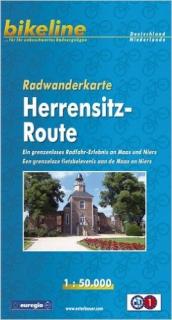
RWK-HERREN Herrensitz-Route 1:50t cyklomapa Esterbauer (Ein grenzenloses Radfahr-Erlebnis an Maas und Niers)

RWK-HERREN Herrensitz-Route 1:50t cyklomapa Esterbauer (Ein grenzenloses Radfahr-Erlebnis an Maas und Niers)

Bikeline cykloturistická mapa HERENSITZ-ROUTE v mierke 1:50tis - Esterbauer  Ein grenzenloses Radfahr-Erlebnis an Maas und Niers Skladaná cykloturistická mapa oblasti Herrensitz pozdĺž rieky Maas a Niers, od Cuijk po Venlo zo severu na juh a od Reek po Issum od západu po východ. Byciklovanie v pohraničnej oblasti nemecko-holandského Euroregiónu Rhein-Waal medzi Reek, Cuijk, Boxmeer, Goch, Kevelaer, Issum, Straelen a Venlo (Gelderland, Severné Brabantsko, Limburg a Severné Porýnie-Vestfálsko)  Kód mapy: R

kúpiť
Pearson English Kids Readers: Maleficent (Edwards Lynda | Level 6 - 1200 headwords)

Pearson English Kids Readers: Maleficent (Edwards Lynda | Level 6 - 1200 headwords)

A young fairy, Maleficent, lived in the Moors—a magical land of Fairy Folk, which was alive with wonderful creatures. The human land was their great enemy. King Henry wanted to own the Moors and he was ready to fight for it. One day, someone will bring peace to the two lands. But who will it be?

kúpiť
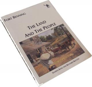
Fort Benning : The Land and the People

Fort Benning : The Land and the People

We are pleased to bring to the public, Fort Benning. The Land and the People. Wroking in partnership with the Southeast Archeological Center of the National Park Service, Fort Bennings Directorate of Public Works, Enviromental Managment Division has held responsibilty for the conduct of numerous archeological and attendant historical studies conduced on behalf of the U.S. Army. Autor : Sharyn Kane, Richard Keeton

kúpiť
Pearson English Kids Readers: Level 1 Peter Pan (DISNEY)

Pearson English Kids Readers: Level 1 Peter Pan (DISNEY)

With the brand-new Disney Readers series, young learners can build their reading skills with the help of engaging Disney stories and characters they know and enjoy. Peter Pan and Tinker Bell live in Never Land. They are magical! They fly! They fly to a house in London. Wendy, John, and Michael live there. Do the children fly? Do they see Never Land?With the brand-new Disney Readers series, young learners can build their reading skills with the help of engaging Disney stories and characters they know and e

kúpiť
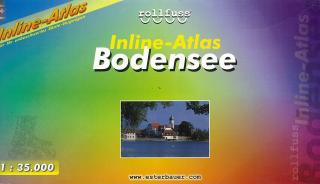
Bodensee Inline-Atlas 1:35t cyklobrožúra Esterbauer

Bodensee Inline-Atlas 1:35t cyklobrožúra Esterbauer

BODENSEE v mierke 1:35tis - Esterbauer   Cykloturistické trasy a trasy pre in-line športovanie okolo celého jazera BODENSEE - v jednej brožúre. Podrobná cyklistická mapa Bikeline s cyklosprievodocm v nemeckom jazyku. Farebné fotografie, kilometráž cyklotrás, turistické zaujímavosti,...

kúpiť
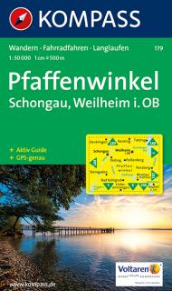
KOMPASS 179 Pfaffenwinkel, Schongauer Land 1:50t turistická mapa

KOMPASS 179 Pfaffenwinkel, Schongauer Land 1:50t turistická mapa

Kompass turistické a cykloturistické mapy Turistické mapy Kompass sú ideálnym spoločníkom pre nadšencov pešej turistiky. - turistické trasy sú zobrazené farebne - ikony zobrazujú čo hľadať a čo môžete v danej oblasti očakávať - vďaka vrstevniciam /jasne vyobrazené skalné útesy/, si môžete vopred naplánovať stupeň obtiažnosti trasy - súčasťou väčšiny máp sú praktickí sprievodcovia - preplnení turistickými informáciami, stručný popis turistických trás, detilné informácie o ubytovniach a chatách. Sprievodca

kúpiť
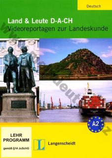
Land und Leute D-A-CH - DVD s reportážami k nemeckým reáliám

Land und Leute D-A-CH - DVD s reportážami k nemeckým reáliám

DVD Land und Leute D-A-CH ponúka 12 autentických filmových reportáží v dĺžke približne 3 minúty každá. DVD je možné používať ako doplnok do výučby od vedomostnej úrovne A2 a reportáže nie sú viazané na žiadnu základnú učebnicu. Ku každému filmu nájdete na DVD aj pracovné listy vo formáte PDF. Reportáže použité na DVD sú svojím zameraním pre žiakov prínosný tým, že spracovávajú štandardné témy reálií, ale zároveň sa snaží o inovatívne pohľad na reálie nemecky hovoriacich krajín.

kúpiť