Danube Bike Trail 4 - from Budapest to Belgrade cyklosprievodca Esterbauer /angl (Part 4: Part 4: From Budapest to Belgrade  On the Beautiful Blue Danube )

Danube Bike Trail 4 - from Budapest to Belgrade cyklosprievodca Esterbauer /angl (Part 4: Part 4: From Budapest to Belgrade On the Beautiful Blue Danube )

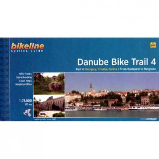
Bikeline Cycling Guide cykloturistický sprievodca DANUBE BIKE TRAIL 4 - Esterbauer
Part 4: From Budapest to Belgrade On the Beautiful Blue Danube

GPS-Tracks
spiral bounding
local maps
height profiles
distance 570 km
120 pages


Charakteristika cyklosprievodcu vydavateľom:
The fourth part of our Danube Bike Trail series begins in the Hungarian capital Budapest and ends in the Serbian capital Belgrade.With a total length of 2,845 kilometers, the Danube is Europe’s second longest river (after the Volga with 3,534 kilometers), and the only one on which kilometers are counted in reverse direction, starting with kilometer zero at the mouth and ending upstream at the source.
The Route
Length
The length of the route between Budapest and Belgrade totals 570 kilometres when you ride via Hungary and Serbia. If you take the main route through Croatia between Mohács and Ilok then the distance shortens to 520 kilometres. The alternative routes and excursions have a total length of 410 kilometres.
Surface quality and traffic
The route mostly follows paved roads in good condition while in Hungary you will also be using dike roads, which are only in part paved. In Croatia and Serbia you will mostly be riding along roads with varying amounts of traffic. Most of the traffic is naturally encountered in proximity to the larger centres Budapest, Novi Sad and Belgrade. In between there are longer stretches which follow small, quiet country roads.There are some tough climbs to be overcome, but these are mostly confined to the Croatian section, with some in Serbia between Sremski Karlovci and Beška and the alternative route through the Fruška Gora national park. The remainder of the route is very flat.
Signage
The Danube Bike Trail is part of the EuroVelo-Route 6 and is completely signposted between Budapest and Belgrade. In Hungary you follow the square signs with the number 6. The signs are green in the sections where the route has been completed and yellow along temporary routes, where the final route has not yet been constructed.In Croatia you will encounter small blue signs with the words Ruta Dunav which you follow all the way to the Serbian border.In Serbia the signposting is excellent. The signs, which even carry cheerful phrases, were developed in cooperation with the Gesellschaft für Technische Zusammenarbeit (GTZ). The signs even provide the distance to the next and distant goals.

kúpiť
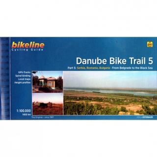
Danube Bike Trail 5 from Belgrade to Black Sea cyklosprievodca Esterbauer / angl (Part 5: From Belgrade to the Black Sea)

Danube Bike Trail 5 from Belgrade to Black Sea cyklosprievodca Esterbauer / angl (Part 5: From Belgrade to the Black Sea)

Bikeline Cycling Guide cykloturistický sprievodca DANUBE BIKE TRAIL 5 - Esterbauer Part 5: From Belgrade to the Black Sea GPS-Tracks spiral bounding local maps height profiles distance 1400 km 200 pages Charakteristika cyklosprievodcu vydavateľom: The fifth part of the Danube Bike Trail begins in Belgrade and ends in Romania on the Black Sea.With a total length of 2,845 kilometres, the Danube is Europe’s second longest river (after the Volga with 3,534 kilometres), and the only one on which kilometres

kúpiť
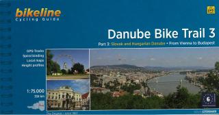
Danube Bike Trail 3 - from Vienna to Budapest cyklosprievodca Esterbauer / angl (Part 3: Slovak and Hungarian Danube)

Danube Bike Trail 3 - from Vienna to Budapest cyklosprievodca Esterbauer / angl (Part 3: Slovak and Hungarian Danube)

Bikeline Cycling Guide cykloturistický sprievodca DANUBE BIKE TRAIL 3 - Esterbauer PART 3: Slovak and Hungarian Danube - From Vienna to Budapest GPS-Tracks spiral bounding local maps height profiles distance 334 km Charakteristika cyklosprievodcu vydavateľom: Danube Bike Trail 3 The Danube Bike Trail from Passau to Vienna is the most travelled long-distance cycling route in Europe. Every year, thousands of cyclists explore the varied scenery which the route through Austria has to offer. For most cyclist

kúpiť
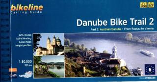
Danube Bike Trail 2 - Astrian Danube cyklosprievodca Esterbauer / angl (Part 2: Austrian Danube: From Passau to Vienna)

Danube Bike Trail 2 - Astrian Danube cyklosprievodca Esterbauer / angl (Part 2: Austrian Danube: From Passau to Vienna)

Bikeline Cycling Guide cykloturistický sprievodca DANUBE BIKE TRAIL 2 - Esterbauer PART 2:  Austrian Danube - From Passau to Vienna GPS-Tracks spiral bounding local maps height profiles distance 320 km 160 pages Charakteristika cyklosprievodcu vydavateľom: In the last decade the Danube bike trail has emerged as Europe’s most important long-distance bicycle touring route. Its popularity is due primarily to the Danube’s natural beauty and the wealth of cultural and historical sites that line its banks. B

kúpiť
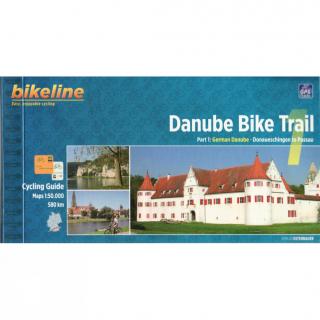
Danube Bike Trail 1 - German Danube cyklosprievodca Esterbauer / angl (Part 1: German Danube, Donaueschingen to Passau)

Danube Bike Trail 1 - German Danube cyklosprievodca Esterbauer / angl (Part 1: German Danube, Donaueschingen to Passau)

Bikeline Cycling Guide cykloturistický sprievodca DANUBE BIKE TRAIL 1 - Esterbauer PART 1: German Danube - Donaueschingen to Passau GPS-Tracks spiral bounding local maps height profiles distance 580 km 152 pages Charakteristika cyklosprievodcu vydavateľom: The Danube is not merely one of Europe’s great rivers. At 2,888 kilometers from the source of the Breg and 2,845 kilometers from the confluence of the Breg, Brigach and Danube Spring in Donaueschingen, it is the second longest river in Europe; only t

kúpiť
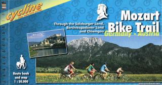
Mozart Bike Trail cyklosprievodca Esterbauer / 2005

Mozart Bike Trail cyklosprievodca Esterbauer / 2005

Bikeline cykloturistický sprievodca MOZART BIKE TRAIL - Esterbauer Through the Salzburger Land, Berchtesgadener Land and Chiemgau Stadtpläne Übernachtungsverzeichnis Höhenprofil Spiralbindung 120 Seiten Länge: 430km Charakteristika cyklosprievodcu vydavateľom: Salzkammergut, Chiemgau and Tyrol. These three regions along the Austrian-German border dazzle with stunning landscapes, verdant Alpine pastures, meadows filled with wildflowers, crisp clean air and refreshing lakes. The lively city of Salzburg, h

kúpiť
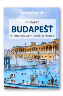
Budapešť do kapsy

Budapešť do kapsy

Na březích Dunaje, s Budínskými vrchy za zády se rozprostírá Budapešť, město obdařené mnoha krásami. Královna Dunaje ožívá coby centrum zábavy střední Evropy.

kúpiť
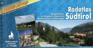
Radatlas Südtirol cyklosprievodca Esterbauer / 2009 (Radwandern im Eisacktal, Pustertal, Etschtal und im Vinschgau)

Radatlas Südtirol cyklosprievodca Esterbauer / 2009 (Radwandern im Eisacktal, Pustertal, Etschtal und im Vinschgau)

Bikeline cykloturistický sprievodca RADATLAS SÜDTIROL - Esterbauer Radwandern im Eisacktal, Pustertal, Etschtal und im Vinschgau Übernachtungsverzeichnis Spiralbindung 180 Seiten  

kúpiť
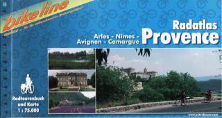
Radatlas Provence cyklosprievodca Esterbauer / 2002 (Arles, Nîmes, Avignon, Camargue)

Radatlas Provence cyklosprievodca Esterbauer / 2002 (Arles, Nîmes, Avignon, Camargue)

Bikeline cykloturistický sprievodca RADATLAS PROVENCE - Esterbauer Arles, Nîmes, Avignon, Camargue Stadtpläne Übernachtungsverzeichnis Höhenprofil Spiralbindung Länge: 448 km Charakteristika cyklosprievodcu vydavateľom: Provence – The name alone sounds inviting to every traveller. Let yourself be enchanted by ancient towns and historic monasteries, by the rich scent from fields of lavender, the charm of tiny villages and French joie de vivre. A refreshing plunge into the Mediterranean is just one of the

kúpiť
Budapešť Easy Map 1:12,5t (Maďarsko) mapa mesta Kunth / 2017

Budapešť Easy Map 1:12,5t (Maďarsko) mapa mesta Kunth / 2017

Easy Map Budapešť Vás zavedie ku všetkým pamiatkám hlavného mesta Maďarska. - zrozumiteľná a ľahko čitateľná - obojstranne laminovaná, odolná  proti pretrhnutiu, popisovateľná - mierka 1:12.500 - mapa Budapešti a mapa metropolitných oblastí. Takto môžete ľahko nájsť cestu okolo metropoly Dunaja. EASY MAP Budapest je skvelou kombináciou mapy mesta a turistického sprievodcu vrátane legendy, registra ulíc, turistických atrakcií a parkov, ako aj prehľadu štátnych sviatkov. V mape nájdete:- informácie dôležit

kúpiť
William Blake

William Blake

William Blake was an abscure craftman, an engraver who lived all his outwardly uneventful life in London during the latter part of the eighteenth century and the early part of the nineteenth. Autor : James Daugherty

kúpiť
William Blake

William Blake

William Blake was an abscure craftman, an engraver who lived all his outwardly uneventful life in London during the latter part of the eighteenth century and the early part of the nineteenth. Autor : James Daugherty

kúpiť
Pearson English Readers: Gone with the Wind - Part Two  (Margaret Mitchell | B1 - Level 4 - 1700 headwords)

Pearson English Readers: Gone with the Wind - Part Two (Margaret Mitchell | B1 - Level 4 - 1700 headwords)

Classic / British EnglishGone with the Wind is a great romantic story of love and war and one of the best-selling books of all time. In Part 2, the American Civil War has destroyed Scarlett O’Hara’s comfortable world. Will she lose her home too? Or can she save it and rebuild her life?

kúpiť
Pearson English Readers: Gone with the Wind - Part One  (Margaret Mitchell | B1 - Level 4 - 1700 headwords)

Pearson English Readers: Gone with the Wind - Part One (Margaret Mitchell | B1 - Level 4 - 1700 headwords)

Classic / British EnglishGone with the Wind is a story of love and war and one of the best-selling books of all time. Part 1 follows the popular but selfish Scarlett O’Hara, the gentlemanly Ashley Wilkes, and dangerous but charming Rhett Butler as their world is destroyed in the terrible American Civil War.

kúpiť
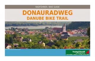
Donauradweg (Danube Bike Trail) Passau-Bratislava cykloatlas 125t FreytagBerndt (Dunajská cyklistická cesta cykloatlas v špirále)

Donauradweg (Danube Bike Trail) Passau-Bratislava cykloatlas 125t FreytagBerndt (Dunajská cyklistická cesta cykloatlas v špirále)

Cykloturistická mapa v mierke 1:125tis, vydavateľa Freytag & Berndt Zobrazuje trasu PASSAU - VIEDEN - BRATISLAVA Cykloturistická mapa 1 : 125 000, cykloatlas špirálové viazanie. Kompaktný rozmer, vhodný pre cyklistické tašky. Obsahuje: cyklistické trasy v danej oblasti pre cestnú a horskú cyklistiku s uvedením výškových profilov popísaná obtiažnosť, vzdialenosť cyklotrás, doba jazdy dôležité adresy a kontakty zaujímavé tipy na zájazdy s popismi trás - v jazyku nemeckom a anglickom + farebné fotog

kúpiť
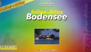
Bodensee Inline-Atlas 1:35t cyklobrožúra Esterbauer

Bodensee Inline-Atlas 1:35t cyklobrožúra Esterbauer

BODENSEE v mierke 1:35tis - Esterbauer   Cykloturistické trasy a trasy pre in-line športovanie okolo celého jazera BODENSEE - v jednej brožúre. Podrobná cyklistická mapa Bikeline s cyklosprievodocm v nemeckom jazyku. Farebné fotografie, kilometráž cyklotrás, turistické zaujímavosti,...

kúpiť