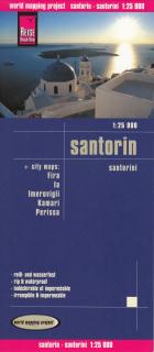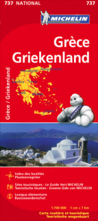
737 Grécko (Greece) 1:700t mapa MICHELIN
Updated regularly, MICHELIN National Map Greece will give you an overall picture of your journey thanks to its clear and accurate mapping scale 1/700,000. Map will help you easily plan your safe and enjoyable journey in Greece thanks to a comprehensive key, a complete name index as well a clever time & distance chart. Michelin's driving information will help you navigate safely in all circumstances. In addition, MICHELIN National Map Greece is cross-referenced with the famous MICHELIN Green Guide highlighting destinations worth stopping for!
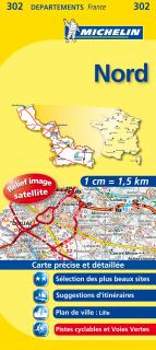
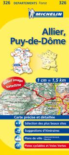
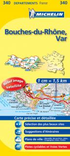
With MICHELIN National Maps, find more than just your way!
With MICHELIN National Maps, find more than just your way!
MICHELIN NATIONAL MAPS feature:* Up-to-date mapping * A scale adapted to the size of the country * A clear and comprehensive key * Distance and time chart * Place name index * Driving and road safety information * Tourist sights information
- Obchod: www.mapysveta.sk
- Zaradenie: EURÓPA | Grécko | automapy a autoatlasy
- Výrobca tovaru: Michelin
- Dostupnosť tovaru: do 504 hodín
- Aktualizované: 12.12.2023
- Cena: 9.99 Eur