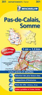
301 Pas-de-Calais, Somme (Francúzsko) 1:150tis local mapa MICHELIN
The MICHELIN Pas-de-Calais, Somme local map, scale 1/150,000 is the ideal companion to fully explore this northern part of France and provides star-rated Michelin tourist itineraries and attractions, as well as impressive 3D relief mapping. MICHELIN local maps are perfect for cyclist and outdoor enthusiasts with over 20 leisure symbols, extensive coverage of cycling paths and nature trails. With MICHELIN local maps, find more than just your way!
- Obchod: www.mapysveta.sk
- Cena: 9.99 Eur
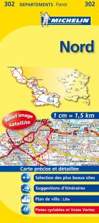
302 Nord, North (Francúzsko) 1:150tis local mapa MICHELIN
The MICHELIN Nord local map, scale 1 / 150 000 is the ideal companion to fully explore this France local area and provides star-rated Michelin tourist itineraries and attractions, as well as impressive 3D relief mapping. MICHELIN local maps are perfect for cyclist and outdoor enthusiasts with over 20 leisure symbols, extensive coverage of cycling paths and nature trails. With MICHELIN local maps, find more than just your way!
- Obchod: www.mapysveta.sk
- Cena: 9.99 Eur
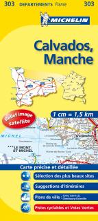
303 Calvados, Manche (Francúzsko) 1:150tis local mapa MICHELIN
The MICHELIN Calvados, Manche local map, scale 1/150,000 is the ideal companion to fully explore the coastal part of Normandy and provides star-rated Michelin tourist itineraries and attractions, as well as impressive 3D relief mapping. MICHELIN local maps are perfect for cyclists and outdoor enthusiasts with over 20 leisure symbols, extensive coverage of cycling paths and nature trails. With MICHELIN local maps, find more than just your way!
- Obchod: www.mapysveta.sk
- Cena: 9.99 Eur
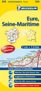
304 Eure, Seine-Maritime (Francúzsko) 1:150tis local mapa MICHELIN
The MICHELIN Eure, Seine-Maritime local map, scale 1/150,000 is the ideal companion to fully explore these French local areas and provides star-rated Michelin tourist itineraries and attractions, as well as impressive 3D relief mapping. MICHELIN local maps are perfect for cyclists and outdoor enthusiasts with over 20 leisure symbols, extensive coverage of cycling paths and nature trails. With MICHELIN local maps, find more than just your way!
- Obchod: www.mapysveta.sk
- Cena: 9.99 Eur
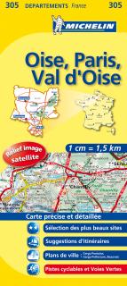
305 Oise, Parijs, Val d'Oise 2016 (Francúzsko) 1:150tis local mapa MICHELIN
The MICHELIN Oise, Paris, Val-d'Oise local map, scale 1 / 150 000 is the ideal companion to fully explore Paris' northern surrounding area and provides star-rated Michelin tourist itineraries and attractions, as well as impressive 3D relief mapping. MICHELIN local maps are perfect for cyclist and outdoor enthusiasts with over 20 leisure symbols, extensive coverage of cycling paths and nature trails. With MICHELIN local maps, find more than just your way!
- Obchod: www.mapysveta.sk
- Cena: 9.99 Eur
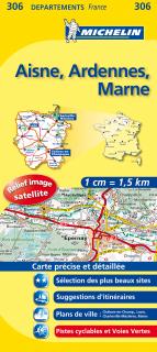
306 Aisne, Ardennes, Marne 2016 (Francúzsko) 1:150tis local mapa MICHELIN
The MICHELIN Aisne, Ardennes, Marne local map, scale 1/150,000 is the ideal companion to fully explore this French area and provides star-rated Michelin tourist itineraries and attractions, as well as impressive 3D relief mapping. MICHELIN local maps are perfect for cyclists and outdoor enthusiasts with over 20 leisure symbols, extensive coverage of cycling paths and nature trails. With MICHELIN local maps, find more than just your way!
- Obchod: www.mapysveta.sk
- Cena: 9.99 Eur
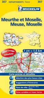
307 Meurthe et Moselle, Meuse, Moselle (Francúzsko) 1:150tis local mapa MICHELIN
The MICHELIN Meuse, Meurthe-et-Moselle, Moselle local map, scale 1/150,000 is the ideal companion to fully explore this area of the France's Champagne-Ardenne region and provides star-rated Michelin tourist itineraries and attractions, as well as impressive 3D relief mapping. MICHELIN local maps are perfect for cyclists and outdoor enthusiasts with over 20 leisure symbols, extensive coverage of cycling paths and nature trails. With MICHELIN local maps, find more than just your way!
- Obchod: www.mapysveta.sk
- Cena: 9.99 Eur
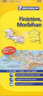
308 Finistère, Morbihan 2016 (Francúzsko) 1:150tis local mapa MICHELIN
The MICHELIN Finistére, Morbihan local map, scale 1/150,000 is the ideal companion to fully explore Southern Brittany and provides star-rated Michelin tourist itineraries and attractions, as well as impressive 3D relief mapping. MICHELIN local maps are perfect for cyclists and outdoor enthusiasts with over 20 leisure symbols, extensive coverage of cycling paths and nature trails. With MICHELIN local maps, find more than just your way!
- Obchod: www.mapysveta.sk
- Cena: 9.99 Eur
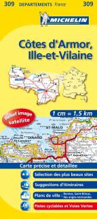
309 Côtes d'Armor, Ille-et-Vilaine 2016 (Francúzsko) 1:150tis local map MICHELIN
The MICHELIN Côtes-d'Armor, Ille-et-Vilaine local map, scale 1/150 000 is the ideal companion to fully explore Northern Brittany areas and provides star-rated Michelin tourist itineraries and attractions, as well as impressive 3D relief mapping. MICHELIN local maps are perfect for cyclists and outdoor enthusiasts with over 20 leisure symbols, extensive coverage of cycling paths and nature trails. With MICHELIN local maps, find more than just your way!
- Obchod: www.mapysveta.sk
- Cena: 9.99 Eur
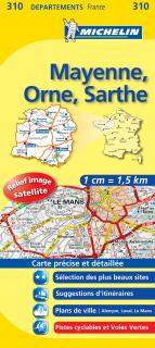
310 Mayenne, Orne, Sarthe 2016 (Francúzsko) 1:150tis local mapa MICHELIN
The MICHELIN Mayenne, Orne, Sarthe local map, scale 1/150,000 is the ideal companion to fully explore this French destination and provides star-rated Michelin tourist itineraries and attractions, as well as impressive 3D relief mapping. MICHELIN local maps are perfect for cyclists and outdoor enthusiasts with over 20 leisure symbols, extensive coverage of cycling paths and nature trails. With MICHELIN local maps, find more than just your way!
- Obchod: www.mapysveta.sk
- Cena: 9.99 Eur
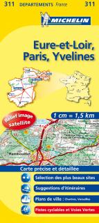
311 Eure-et-Loir, Paris, Yvelines 2016 (Francúzsko) 1:150tis local mapa MICHELIN
The MICHELIN Eure-et-Loir, Paris, Yvelines local map, scale 1/150,000 is the ideal companion to fully explore Paris surrounding areas and provides star-rated Michelin tourist itineraries and attractions, as well as impressive 3D relief mapping. MICHELIN local maps are perfect for cyclists and outdoor enthusiasts with over 20 leisure symbols, extensive coverage of cycling paths and nature trails. With MICHELIN local maps, find more than just your way!
- Obchod: www.mapysveta.sk
- Cena: 9.99 Eur
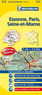
312 Essone, Paris, Seine-et-Marne 2016 (Francúzsko) 1:150tis local mapa MICHELIN
The MICHELIN Essonne, Paris, Seine-et-Marne local map, scale 1/150,000 is the ideal companion to fully explore Paris' surrounding areas and provides star-rated Michelin tourist itineraries and attractions, as well as impressive 3D relief mapping. MICHELIN local maps are perfect for cyclists and outdoor enthusiasts with over 20 leisure symbols, extensive coverage of cycling paths and nature trails. With MICHELIN local maps, find more than just your way!
- Obchod: www.mapysveta.sk
- Cena: 9.99 Eur
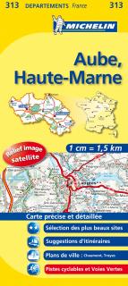
313 Aube, Haute-Marne 2016 (Francúzsko) 1:150tis local mapa MICHELIN
The MICHELIN Aube, Haute-Marne local map, scale 1 / 150 000 is the ideal companion to fully explore these French local areas and provides star-rated Michelin tourist itineraries and attractions, as well as impressive 3D relief mapping. MICHELIN local maps are perfect for cyclists and outdoor enthusiasts with over 20 leisure symbols, extensive coverage of cycling paths and nature trails. With MICHELIN local maps, find more than just your way!
- Obchod: www.mapysveta.sk
- Cena: 9.99 Eur
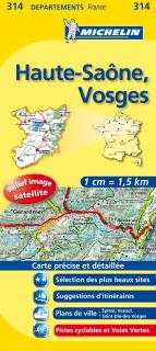
314 Haute-Saône, Vosges 2016 (Francúzsko) 1:150tis local mapa MICHELIN
The MICHELIN Haute-SaĂ´ne, Vosges local map, scale 1/150,000 is the ideal companion to fully explore this France's local area and provides star-rated Michelin tourist itineraries and attractions, as well as impressive 3D relief mapping. MICHELIN local maps are perfect for cyclists and outdoor enthusiasts with over 20 leisure symbols, extensive coverage of cycling paths and nature trails. With MICHELIN local maps, find more than just your way!
- Obchod: www.mapysveta.sk
- Cena: 9.99 Eur
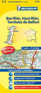
315 Bas-Rhin, Haut-Rhin, Ter.-de-Bel (Francúzsko) 1:150tis local mapa MICHELIN
The MICHELIN Bas-Rhin, Haut-Rhin, Territoire de Belfort local map, scale 1 / 150 000 is the ideal companion to fully explore France's Alsace area and provides star-rated Michelin tourist itineraries and attractions, as well as impressive 3D relief mapping. MICHELIN local maps are perfect for cyclists and outdoor enthusiasts with over 20 leisure symbols, extensive coverage of cycling paths and nature trails. With MICHELIN local maps, find more than just your way!
- Obchod: www.mapysveta.sk
- Cena: 9.99 Eur